GROUP 8: Topo Boys
From Step 2007 Wiki
The following summarizes what's coming along.
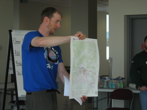
Topographic maps can be used to measure amounts of coastal change.
Topographic maps can be used to look at changes in thaw lakes in a Arctic environments.
One purpose for teaching students how to use topographic maps is so they are able to determine the amount of coastal change by comparing early topographic maps to more recent maps.
Students may also use topographic maps to make inferrences regarding changes in permafrost by looking at changes in thaw lakes over time.
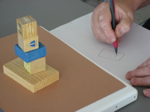
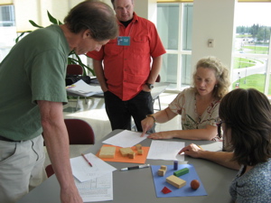
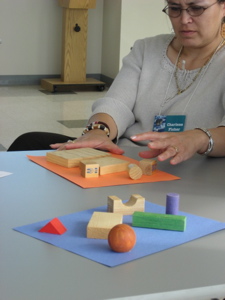 Gear Up activity had students map position of objects on a sheet of paper.
Students exchanged maps to draw a path to navigate through the objects by the shortest path while going over at lest one object.
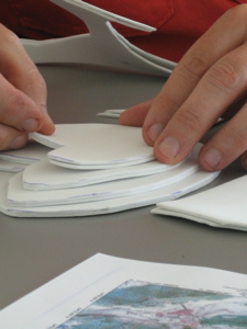
Students then explored contour lines by making a three-dimensional model of a map section.
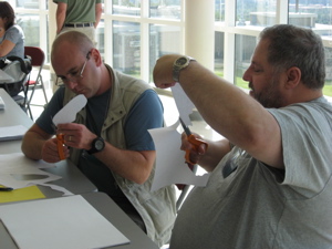
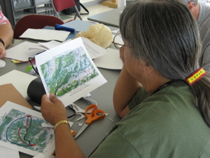
For Apply students where given a topographic map with three different routes marked and were asked to select the route they thought would be safest and relatively easy to traverse. Students were also asked to defend and/or explain their choice.
- -)
