Lydham
From Ars Magica
Contents |
Situation
Saxton Map: Lyddum
On the edge of the plain of the River West Onny, under a km SW of More. The land slopes gently upwards towards the hill town of Bishops Castle 2KM to the SW. Lydham in in a stregic position between the valleys of the River Camlad and River West Onny.
History
The name may well be derived from "Hlid-ham" - the settlement on the slope.A hoard of Bronze Age weapons was found near here, and there is a fine Iron Age hill-fort on Roveries Hill.
Domesday
4 Land of Earl Roger
4,1 What Earl Roger himself holds
4,1,14 The Earl holds Lydham (Lidvm) himself. Edric the Wild held it before 1066. 15 hides which pay tax. In lordship 4 ploughs; 14 villagers with a reeve, a priest and 6 smallholders have 10 ploughs; a further 16 ploughs would be possible there. 6 riders. A mill which pays one pig; woodland, 2 leagues. Value before 1066 £10; now £14.
To give an idea of the importance of Lydham, at Domesday there were only 9 reeves recorded for Shropshire.
Post Domesday
In the 11th and 12th century, Lydham was significant settlement, with charters to hold a weekly market, and gallows to hang robbers. Its importance was only reduced when the new town of Bishops Castle was established by the Bishops of Hereford at the end of the 13th century.
Church
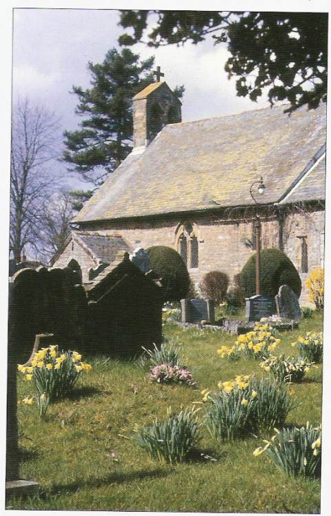
Holy Trinity church stands, without tower or spire, immediately east of the castle. The church is a single rectangular chamber, dating to the 13th century, with its original trussed rafter roof at the east end, and an early collar beam roof over the nave. .35
Castle
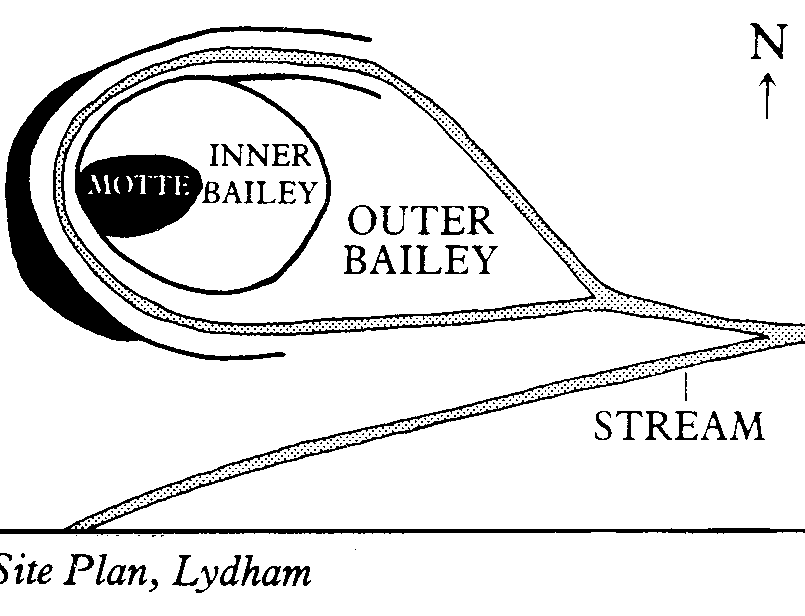
A motte and bailey castle, on the west edge of the village. The motte is circular, 37m diameter at the base, and 12m at the summit, the bailey, to its east, 67m E-W and 55m N-S.


