GROUP Global
From Step Institute
| (8 intermediate revisions not shown) | |||
| Line 1: | Line 1: | ||
| - | + | Use text and photos to document your Go/FIND/DO missions. | |
| - | + | ||
| + | [[Image:Global1.jpg]] | ||
| + | Went to a source of information and located the map room at UAF Geophysical Institute. | ||
| + | |||
| + | [[Image:Global2.jpg]] | ||
| + | Located a map of glaciers receding which supports climate change research. | ||
| + | [[Image:Global3.jpg]] | ||
| + | Went to a sign that contained the letter "I". Located the IARC Research | ||
| + | Highlight display. | ||
| + | [[Image:Global4.jpg]] | ||
| + | [[Image:Global6.jpg]] | ||
| + | Found an example of scientific progress in poster that shows history and progress | ||
| + | of Mt. McKinley Weather Station. Also found a scientific endeavor which supports | ||
| + | climate research of specific topography locations of Alaska. | ||
| + | |||
| + | [[Image:Global7.jpg]] | ||
| + | [[Image:Global8.jpg]] | ||
| + | [[Image:Global9.jpg]] | ||
| + | Satellite positioning at Geophysical Institute reflects data collection and transfer | ||
| + | of information from low orbiting satellites. | ||
| + | |||
| + | |||
| + | To add a photo file, include the name of the photo file in between double brackets and after the IMAGE: , like this [[Image:EXAMPLE.jpg]] within your text. | ||
Current revision as of 22:08, 23 July 2007
Use text and photos to document your Go/FIND/DO missions.
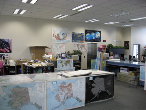 Went to a source of information and located the map room at UAF Geophysical Institute.
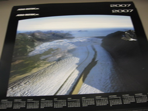 Located a map of glaciers receding which supports climate change research.
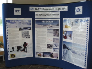 Went to a sign that contained the letter "I". Located the IARC Research
Highlight display.
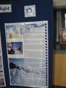
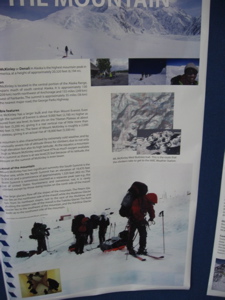
Found an example of scientific progress in poster that shows history and progress of Mt. McKinley Weather Station. Also found a scientific endeavor which supports climate research of specific topography locations of Alaska.
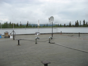
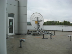
Satellite positioning at Geophysical Institute reflects data collection and transfer
of information from low orbiting satellites.
To add a photo file, include the name of the photo file in between double brackets and after the IMAGE: , like this File:EXAMPLE.jpg within your text.
- -)
