Geography
From Inselkampf
(Nice info!) |
|||
| Line 19: | Line 19: | ||
==Calculating Co-ordinates== | ==Calculating Co-ordinates== | ||
| - | + | Co-ordinates can therefore be calculated by finding the ocean, then the grid, then the isle. | |
| + | [[Image:Example.PNG|thumb|500px|left|Text]] | ||
==Calculating distance== | ==Calculating distance== | ||
Revision as of 19:20, 21 March 2007
The Inselkampf world is split into:- Oceans,
- Within each Ocean are Grids,
- Within each grid are Isles,
Contents |
Oceans
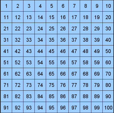
Oceans are the top level of Inselkampf geography. The world is arranged of 100 oceans in a 10 X 10 grid.
Theoretically, 100 oceans can open, although in ,com only about 30 have opened so far. New oceans are opened based upon new player numbers. An ocean is deemed full when there are 500 players in that ocean.
Grids
Within each ocean are 100 grids. These are arranged 10 X 10. When an ocean opens, all grids open at the same time.
Isles
Within each grid, 25 Isles can appear. Although the size and shape are randomised, each grid is in effect a 5 X 5 grid with isles at one of these co-ordinates. It is rare for there to be the maximum of 25 islands in any one grid.
Each island grind is again subdivided into a 5 x 5 sub grid which defines the center of an island. These sub-grid coordinates are not public and need to derived for each island itself. The variances in centers of the islands are the reasons for the 0.2 = 0.4 nm variances in distances.
Calculating Co-ordinates
Co-ordinates can therefore be calculated by finding the ocean, then the grid, then the isle.
Calculating distance
| Guide</td> | This page is a guide to playing inselkampf. |
| Attacking, Colonization, FAQ, First Steps, Geography, Inselkampf, Terminology. | |


