File:Stretton area.jpg
From Ars Magica
No higher resolution available.
Stretton_area.jpg (640 × 435 pixels, file size: 114 KB, MIME type: image/jpeg)
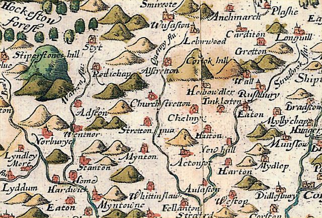
A section of the Saxton 1577 map, covering the area of Church Stretton. None - no roads shown. I have a print of this map covering all Shropshire - I've just grabbed a section here.
File history
Click on a date/time to view the file as it appeared at that time.
(Latest | Earliest) View (newer 50) (older 50) (20 | 50 | 100 | 250 | 500).| Date/Time | Thumbnail | Dimensions | User | Comment | |
|---|---|---|---|---|---|
| current | 21:23, 18 February 2006 | | 640×435 (114 KB) | OldNick (Talk | contribs) | (A section of the Saxton 1577 map, covering the area of Church Stretton. None - no roads shown. I have a print of this map covering all Shropshire - I've just grabbed a section here.) |
- Edit this file using an external application See the setup instructions for more information.
Links
The following pages link to this file:
