The Setting
From Ars Magica
(Difference between revisions)
m |
m |
||
| Line 5: | Line 5: | ||
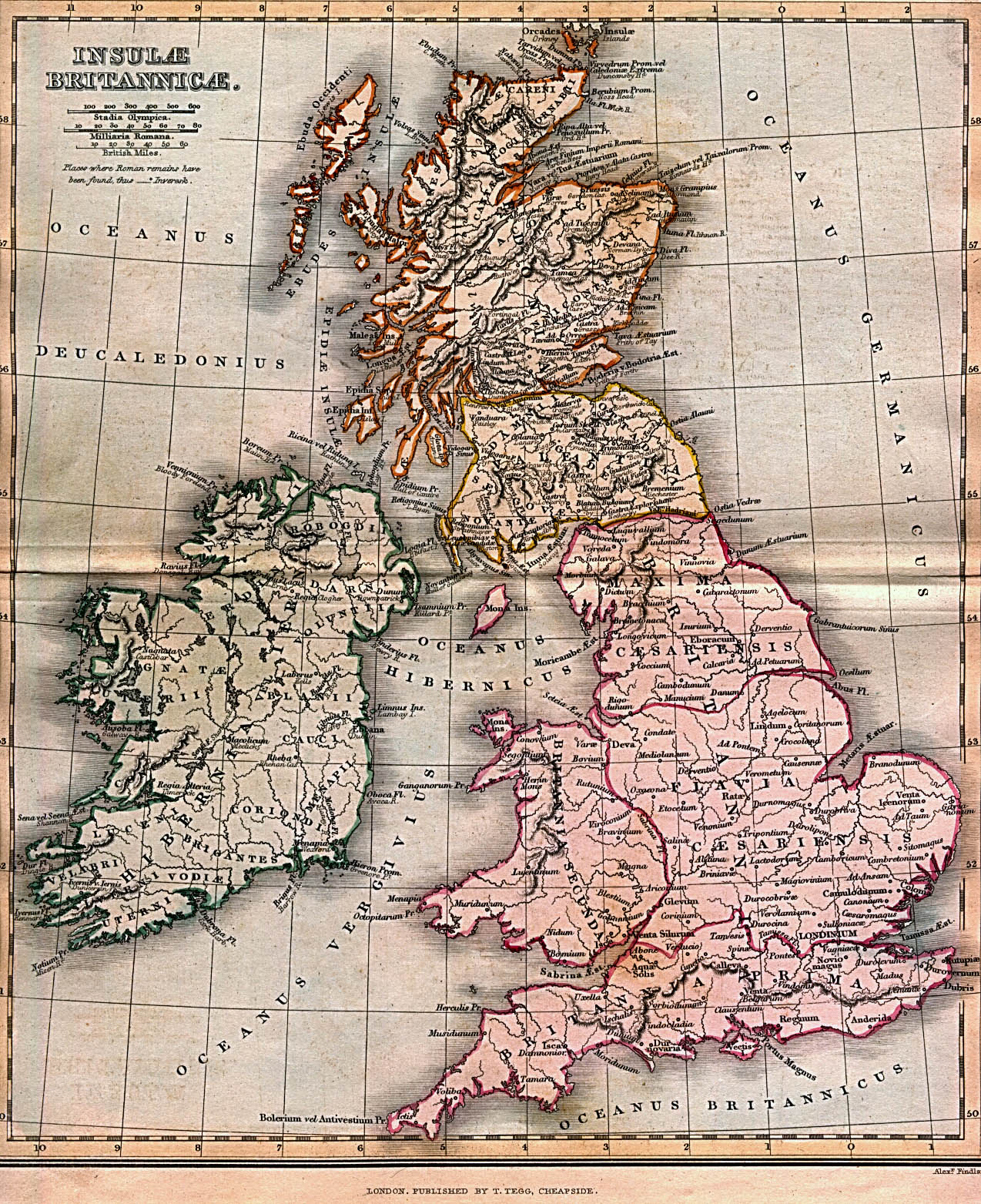
http://www.tonakaistudio.com/medeltidageopolitik/Image5.jpg<br> | http://www.tonakaistudio.com/medeltidageopolitik/Image5.jpg<br> | ||
http://www.tonakaistudio.com/medeltidageopolitik/Image3.jpg<br> | http://www.tonakaistudio.com/medeltidageopolitik/Image3.jpg<br> | ||
| - | http:// | + | http://koti.mbnet.fi/insula/images/Ecclesiastical_Brit_Isles.jpg<br> |
http://www.lib.utexas.edu/maps/historical/ancient_britannia_1852.jpg | http://www.lib.utexas.edu/maps/historical/ancient_britannia_1852.jpg | ||
[http://homepage.mac.com/philipdavis/lists.html Lists of Medieval Fortified Sites of England and Wales] | [http://homepage.mac.com/philipdavis/lists.html Lists of Medieval Fortified Sites of England and Wales] | ||
Revision as of 17:47, 16 January 2006
This page has a selection of maps, as a basis for discussions about the location of the game. Some maps show castle locations (where there are castles, there are bothersome nobles), roads (nosy passersby), roman-latin nomenclature, etc.